The mission module is for units and organizations that do not want to assemble missions from separate lists, messenger threads and paper notes. It does not replace professional decisions, but it gives mission leaders and active teams a shared digital status.
When many things happen at once
At the start of a search, information arrives through radio, phone, dispatch, maps, GPS files and verbal updates. RescueDogs keeps those details in the mission context.
- Alerting, responses and additional alerts stay in one overview.
- Search areas, tracks, weather and situation points stay on the map.
- Documentation is built during the mission and remains available afterwards.
Alerting and additional alerts
Mission leaders can create a mission, select individuals, groups or roles, add keyword, location and comment, and track responses live in the mission.
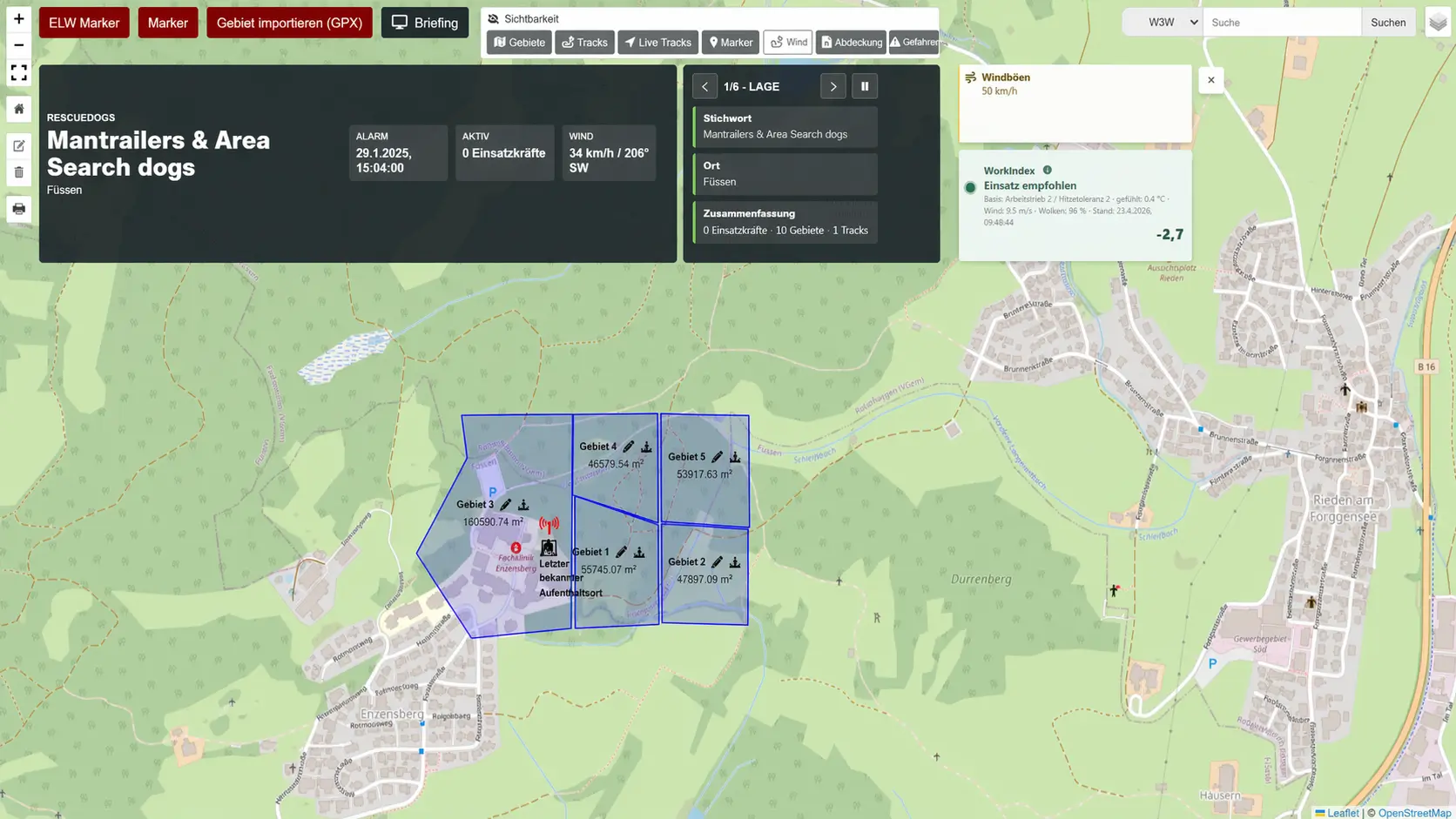
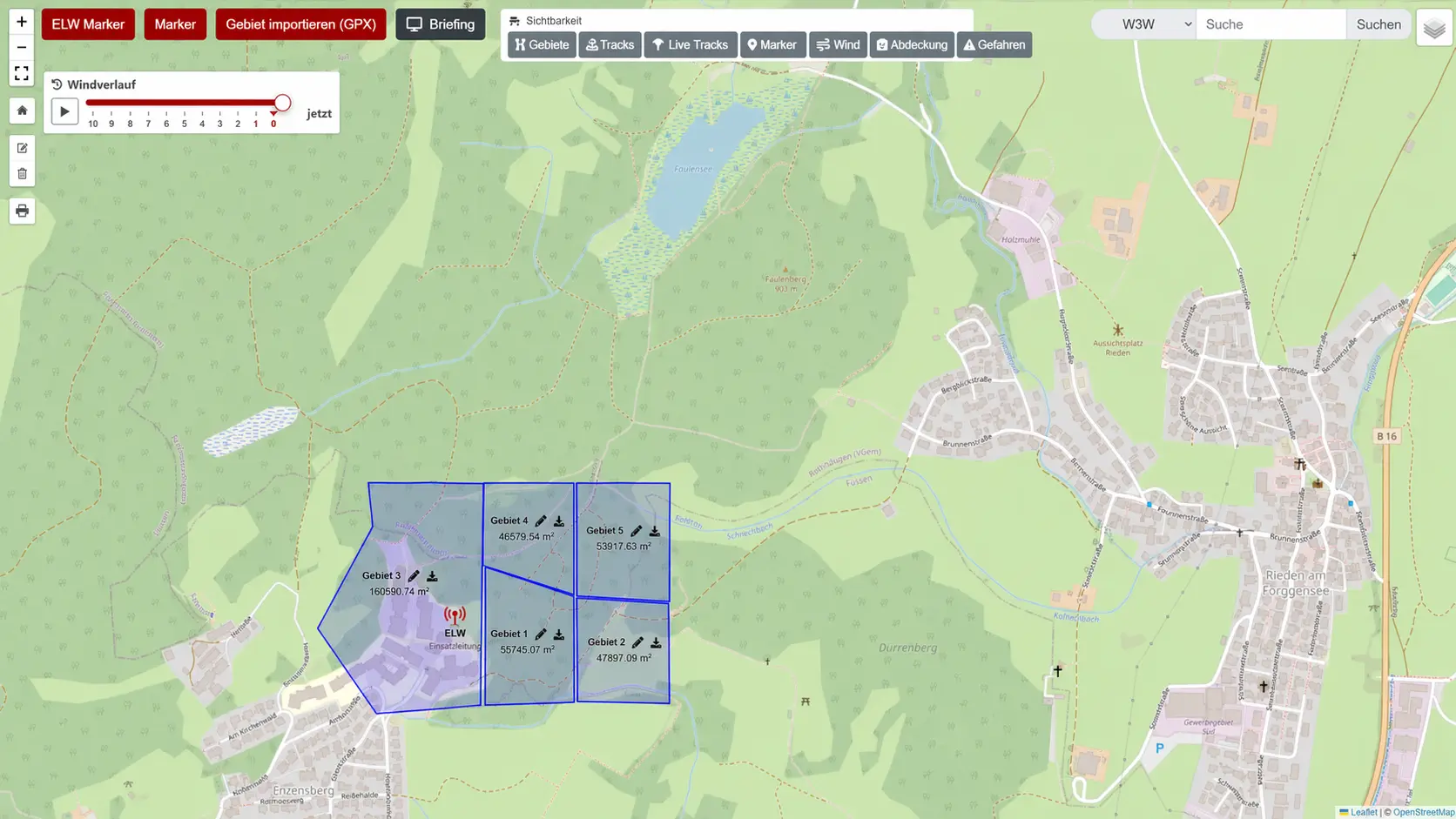
Mission map as the shared picture
Search areas can be drawn or imported via GPX, named, colored and documented with calculated area. Live tracks, markers, weather, wind, coordinates and 3-word addresses give spatial context.
Documentation, chat and reports
Chat, text blocks, photos, forms and mission notes stay attached to the mission. Reports can include overview, map, responses, communication, weather, areas, markers, forms and tracks.
Availability and team overview
The availability view brings roles, current availability, shared dog data, exams, resource status and active missions closer together. Public profiles never show members, live data, mission locations or sensitive situation details.
Turn scattered details into one operational picture.
For offers, trial phases, volume licenses or invoice purchase, direct contact is the fastest route.